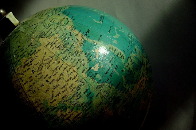
A globe showing the Philippines and the western Pacific region. Nom and Malc/CC BY-NC-ND
MANILA, Philippines — Should the Philippines release its own official map to counter China's?
A sarcastic meme of a so-called "new Philippine Territorial Map" circulated on Facebook on Friday purportedly to challenge Beijing's new official vertical map encompassing Philippine-claimed waters in the South China Sea.
The amusing unofficial and hypothetical Philippine map exaggerates the maritime dispute by showing new Philippine territories overlapping Mongolia and the Chinese mainland as well Hong Kong.
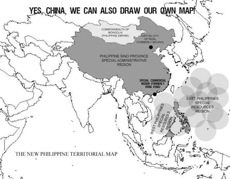
A sarcastic meme circulating on Facebook. source
The entire contested South China Sea is also renamed "West Philippines Special Resources Region" and Hong Kong to "Special Commercial Region."
Beijing is assigned as "capital city" but with a new name: Rizal.
China's new state-approved map released earlier this week strays from the traditional measurements of South China Sea features shown only in a cut-away box. This time, a full map of China is shown along with the disputed sea cut out with the country's "nine-dash line."
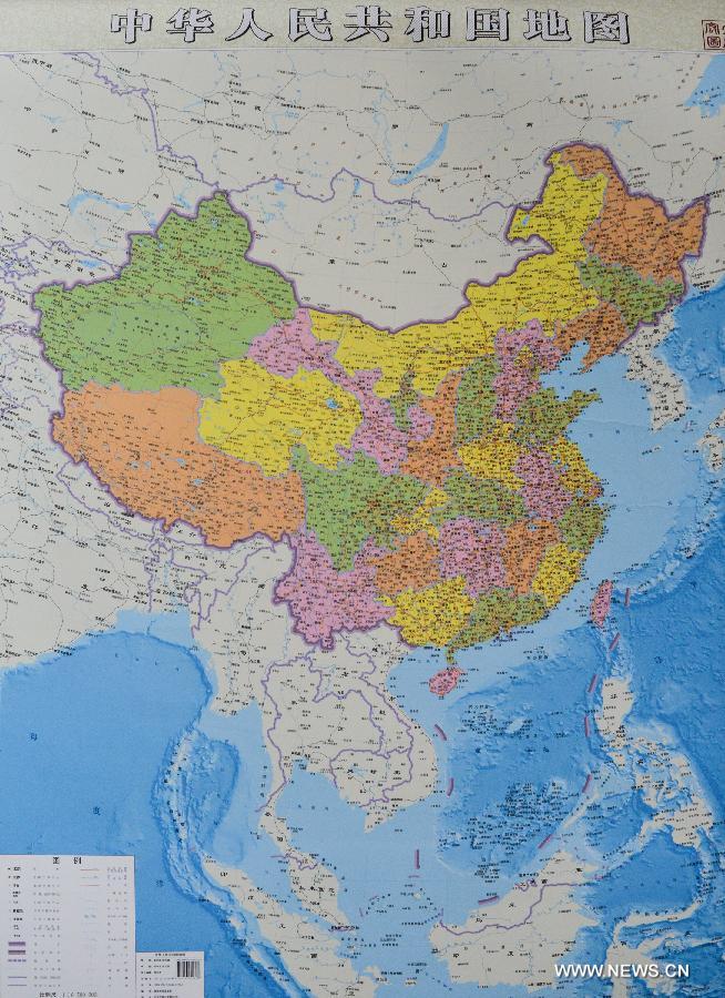
Photo showing the newly issued vertical atlas of China by Hunan Map Publishing House.Xinhua/Bai Yu
The Philippines criticized the new Chinese map, which it called "ambitious" and merely a "drawing" which does not legitimize Chinese ownership of the the isles and reefs in the West Philippine Sea.
Beijing, meanwhile, said that the maps were only published for public service and only show its adamant stance over the maritime zone. - Camille Diola


No comments:
Post a Comment